Habitat mapping
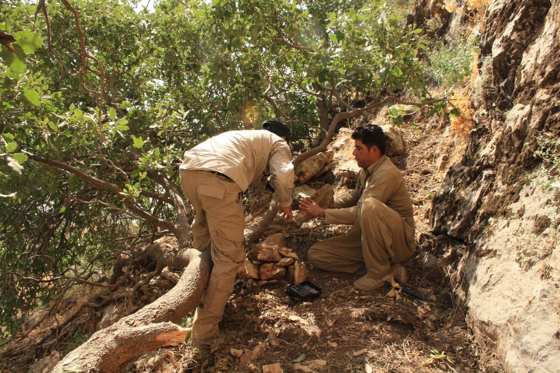
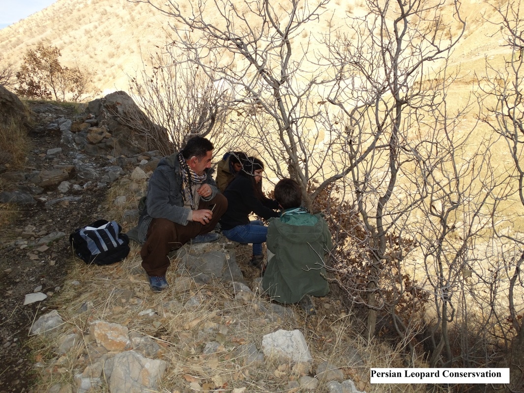
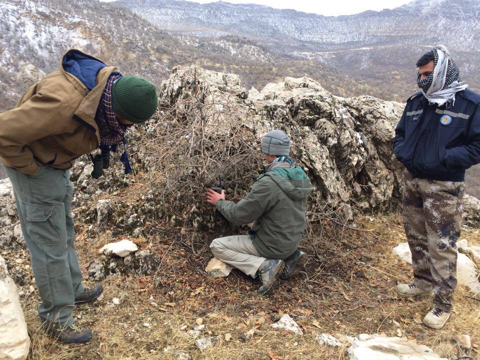
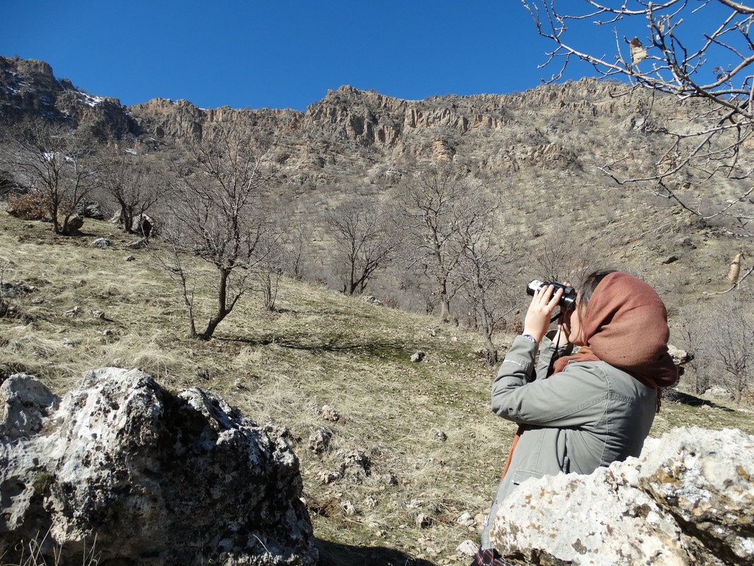
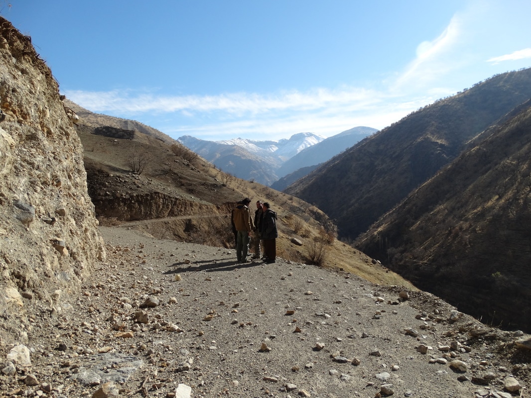
The methodology of Leopard status and habitat assessment includes rapid assessments of presence-absence surveys through local interviews to understand where Leopards have been seen and how often; direct observation of the animals; and indirect method through tracking signs using sign transect in the field after identifying suitable survey areas.The team is using alternative research methods, like occupancy modeling, to maximize the effectiveness of using scanty information, through the presence of scats, scrapes, and pug marks.
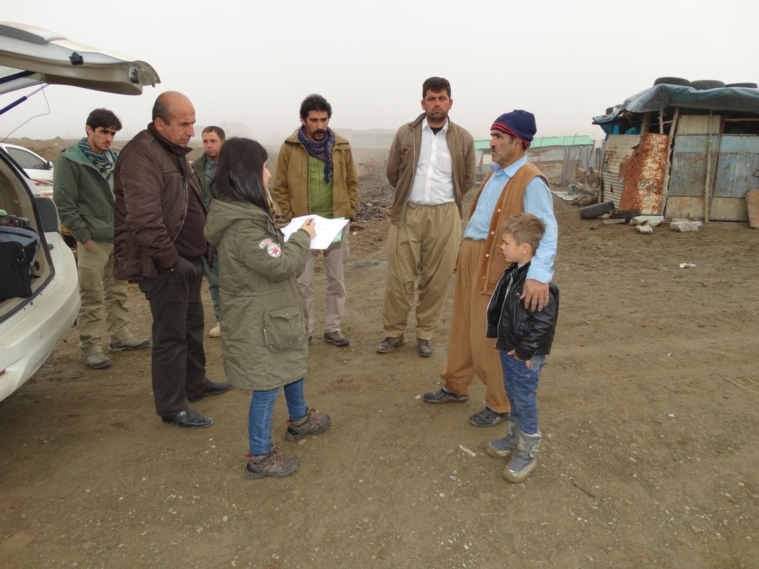
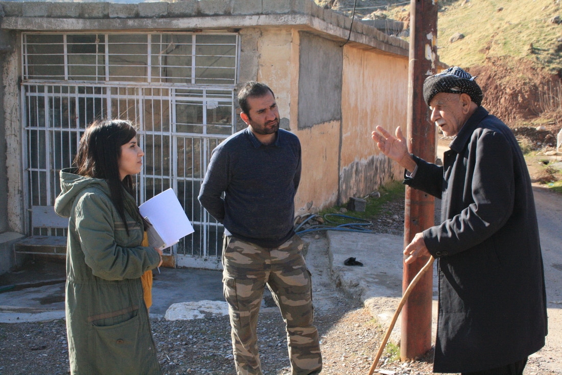
The transects method for indirect observation, involves walking along suspected leopard travel routes and counting the type and number of sign seen. It is practical, efficient for most biological observations, inexpensive, and widely used in mammals research.With regards to the interview surveys, a questionnaire will be used in household and individual local interviews & photographs will be shown to interviewees in order to decrease the chances of mis-identification of the animals.
Meetings with local stakeholders will be managed as group dynamic meetings, where government stakeholders, focal points from the project partners, as well as representatives from the area such as sheikhs and forestry police base stations will sit together to interact and discuss the issues related to human-leopard conflict, as well as other non-human threats faced by the leopard and its preys.
the final product of this study will generate a comprehensive satellite image, showing the range of the Persian Leopard and its prey in the studied area.
Additional field surveys and mammal identification will be done using the field guide to the mammals of the Middle East (2015).
the final product of this study will generate a comprehensive satellite image, showing the range of the Persian Leopard and its prey in the studied area.
Additional field surveys and mammal identification will be done using the field guide to the mammals of the Middle East (2015).